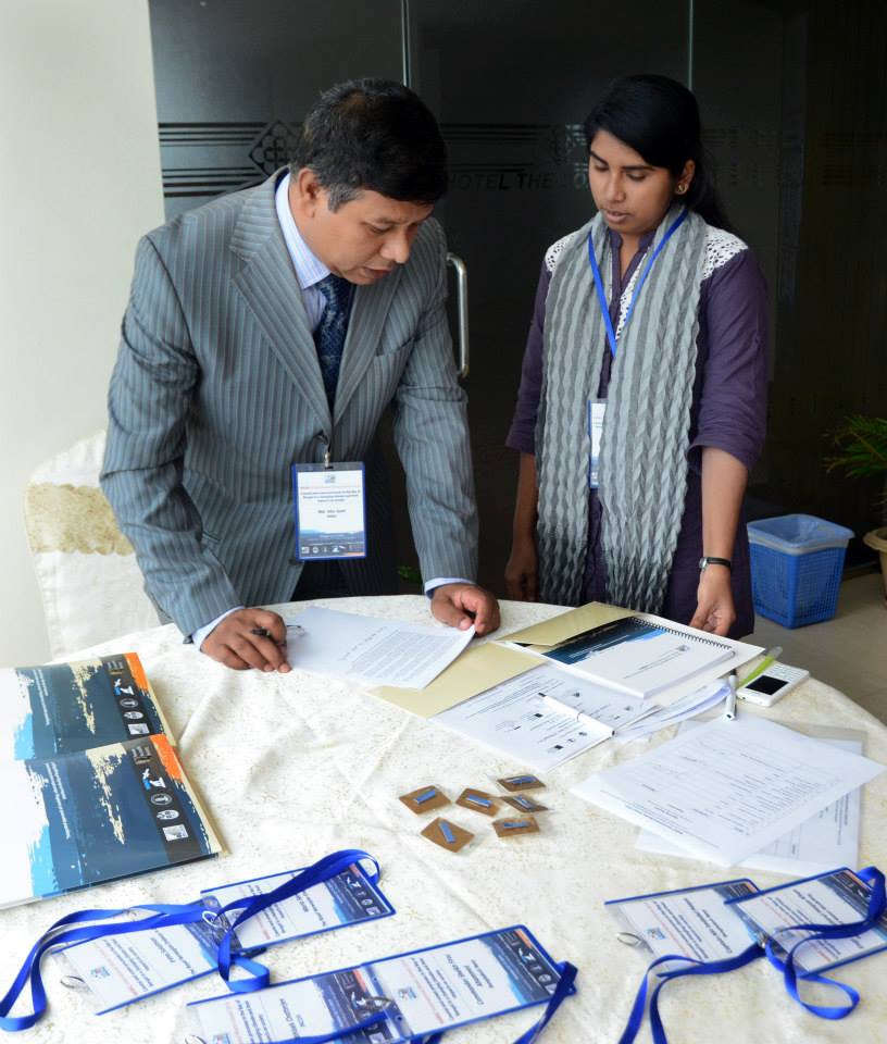
Research, Development, and Training
Conducts innovative researches in the fields of natural resources management, livelihoods, disaster management, climate change, erosion prediction etc. using state-of-the-art modeling tools. It organizes trainings on GIS, Remote Sensing, Integrated Water Resources Management, Social and Environmental Impact Assessment, Delta and Coastal Morphology, Climate Change and Disaster Management, Land Acquisition and Resettlement Management and Modeling, , Urban Planning, Landscape Design, Private Residential Area Planning, Mapping form Open Source Data like google map, google image, Bing image, ASTER Image etc.), Open Source GIS software like QGIS, Map Window GIS, GPS Survey Techniques, Spatial Data Management, Statistical Package for Social Science (SPSS), AutoCAD 2D/3D, Google Sketch up etc.
Area of Expertise
- Training on GIS and Remote Sensing
- ToT on IWRM, S/EIA, and LAP-RA Pofessionals both at home and abroad, Biodiversity monitoring and Evaluation.
- Lidar
- Data analysis tools


